Hotel
Best stay
Verified
5 photos
Hotel
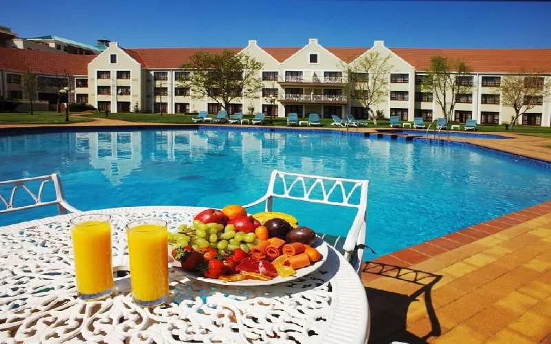
Protea Hotel Bloemfontein Willow Lake
Bloemfontein, Free State
Known Bloemfontein hotel near Willow Lake with official location and phone details.